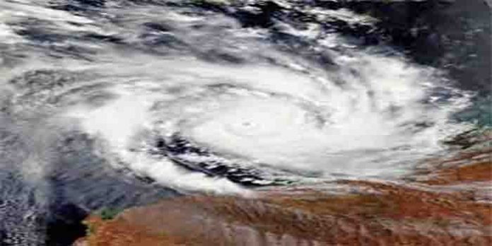
Deadly Hurricane Ida was bringing heavy rains, dangerous flash flooding and extreme winds to southern Louisiana as it continued to move inland on Sunday night. Ida weakened to a high-end Category 2 storm late Sunday, but it remained dangerous. Ida made landfall as an “extremely dangerous” Category 4 hurricane near Port Fourchon, Louisiana, at 11:55am CDT (16:55 GMT) on Sunday, the National Hurricane Center (NHC) said, bringing maximum sustained winds of 241 kilometres per hour (150mph).
The National Weather Service declared flash flood emergencies for several Louisiana regions overnight — including LaPlace, in the New Orleans metropolitan area, where it received “multiple reports of significant flooding” late Sunday. As of late night Sunday, Ida had maximum sustained winds of 105 mph as it moved northwards some 30 miles east-southeast of Baton Rouge, per the National Hurricane Center. Ida made landfall in Port Fourchon, Louisiana, as an “extremely dangerous” Category 4 storm on Sunday afternoon, with maximum sustained winds of 150 mph. It’s one of the strongest hurricanes to hit the state on record. Ida weakened in the evening to a Category 3 hurricane, with widespread power outages reported across southern Louisiana, before weakening again. It hit the US Gulf Coast region on the exact date Hurricane Katrina ravaged Louisiana and Mississippi 16 years ago, inundating historically Black neighbourhoods and killing more than 1,800 people.
Ida caused a “catastrophic storm surge, extreme winds and flash flooding in portions of Louisiana” and was expected to remain a hurricane through late Sunday night, the Miami-based NHC said in a later update. It is moving towards New Orleans and Baton Rouge, as well as a key industrial corridor.


