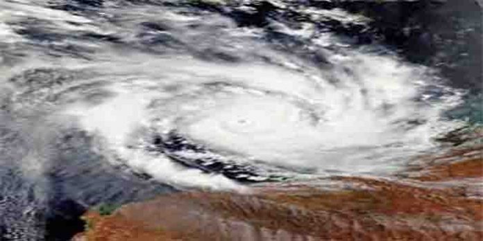
As the United States reels under the aftermath of the dangerous category 4 Hurricane Ida that barrelled along 1,000 miles stateside wreaking destruction to human lives and property, ravaging Louisiana with powerful winds that sustained 150 mph speed, meteorologists are now keeping an eye on Hurricane Larry in the Atlantic. Forecasters at the National Hurricane Centre (NHC), a division of the US National Oceanic and Atmospheric Administration (NOAA) said Monday that a dramatic low-pressure area in the western Caribbean was building up which is expected to conjure a deadly storm that will sweep through the Gulf of Mexico then move across northern Florida before emerging over the Atlantic.
On Friday night, Larry intensified to a Category 3 hurricane with maximum sustained winds of 115 mph, according to the National Hurricane Center. The storm’s winds were up to 125 mph as of the 11 a.m. ET Saturday update from the center. That makes Larry the third major hurricane — Category 3 or higher — in the Atlantic basin this hurricane season. Larry could reach Category 4 strength with maximum winds of 140 over the weekend. Larry, tracking to the north and west over the open Atlantic, will not be a direct threat to any land for at least the next few days. While Ida made a catastrophic hit on the Northeast Corridor, tropical Storm Larry, which will intensify into a hurricane Wednesday night could even be stronger than Ida as it will hit the East with a ‘life-threatening’ surf worsening the trail of destruction, Accuweather meteorologists warn. As of Saturday morning, the storm was located in the eastern Atlantic Ocean about 1,055 miles east of the Leeward Islands.
Larry should gradually turn to the northwest after Labor Day, and the storm could approach Bermuda, still as a major hurricane, by Thursday — though the forecast track that far out is uncertain. Larry is not expected to have a direct threat on the United States. “The currents can be especially dangerous to bathers that may get caught up in the flow of water,” AccuWeather noted in a broadcast. “Even though rip currents are always there in average wave conditions, the stronger and more frequent the wave action, the stronger and more frequent the rip currents tend to become.”


